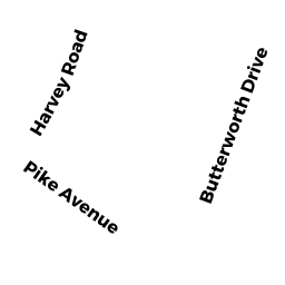
45 HAROLD E SWEET DR
Owner Information
ROBINSON MATTHEW & MEREDITH
45 HAROLD E SWEET DR
ATTLEBORO, MA 02703


Property Details
45 HAROLD E SWEET DR is classified as a Single Family Residential (Colonial).
The primary structure on this property was built in 2015. There are 3,952ft2 of built area within this property. There is 1,976ft2 of residential/living space within this property.
45 HAROLD E SWEET DR is valued at $468,600. The land is valued at $157,100 and the structures are valued at $311,500.
The most recent deed for 45 HAROLD E SWEET DR is recorded at the local registrar in Book 22412, Page 0056. 45 HAROLD E SWEET DR was last sold on Wednesday, July 15, 2015 for $414,900.
Assessment data from fiscal year 2021.
Flood Data
According to the FEMA National Flood Hazard Layer, this property does not appear to be in a flood zone. It may also be in an area not yet reviewed. Nonetheless, confirm this information prior to taking any action.
To view the flood hazards around this property, create a FEMA "Firmette" Map of the area around 45 HAROLD E SWEET DR.
Broadband Internet Providers
| Provider | Type | Bandwidth (mbps) | |
|---|---|---|---|
| GCI Communication Corp. | Satellite | 0 | 0 |
| Viasat Inc | Satellite | 100 | 3 |
| Verizon New England Inc. | DSL | 5 | 0 |
| Comcast | Cable | 1000 | 35 |
| VSAT Systems, LLC. | Satellite | 2 | 1 |
| HughesNet | Satellite | 25 | 3 |
Broadband service provider data from December 2020.
Adjacent Properties
- 39 HAROLD E SWEET DR
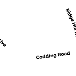
Single Family Residential owned by PETER PRESCOTTANO TRUSTEE - 5 CODDING RD
Single Family Residential owned by PIERRE HUDSON & CASSANDRA - 9 CODDING RD
Single Family Residential owned by DAILEY JOHN P JR & REBECCA J - 0 RIDGE HILL RD
Vacant, Conservation (Municipal or County) owned by ATTLEBORO CITY OF